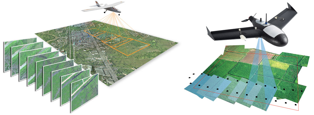
Unmanned Aerial Vehicle / Drone
Applications
- Natural Resource Development
- Disaster Management
- Road Application
- Fire Brigade
- Police
- Defence
- Planning Sector
- Forestry
- Surveying
- Agriculture
- Mining
Sale of UAV System Consisting of
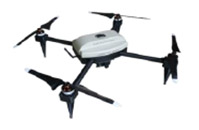
- Drone Bird with video, optical or Multispectral Camera
- Table (Android) with Flight Management Software
- SD Card for data storage
- Post processing software for Orthophoto & BD point generation (as required in survey)
AVAIL our rental service for all the above as Turnkey Projects