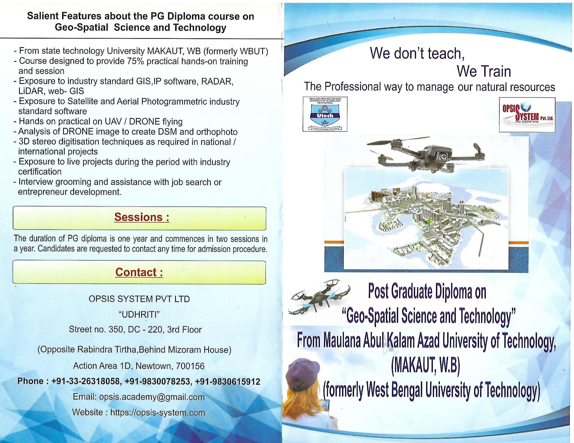
Post Graduate Diploma on Geo-Spatial Science & Technology
Offered by Maulana Abul Kalam Azad University of Technology ,
West Bengal state University (formerly West Bengal University of
Technology)
In collaboration with OPSIS SYSTEM PVT LTD
Overview
The
Postgraduate Diploma in Geospatial Science and Technology programme provides
students with foundational experience and knowledge of geospatial technology.
Students will be prepared for entry-level geospatial roles, and also for
further postgraduate study.
Geo-Spatial Science is the study
of spatial information describing the Earth, its physical
features and the built environment. It incorporates fields such as geographic
information systems (GIS), global positioning system (GPS), remote sensing,
surveying, LiDAR , RADAR , drones and cartography.
Entry Requirements
The candidate should be graduate in any stream of science or engineering
or geography / environmental science from a recognised University in India or
abroad. He / She should be conversant with Windows operating system.
The candidate should have working knowledge in English and Hindi.
The students selected for the PG Diploma course will have to agree to
terms and conditions of the University and sign a declaration of abiding the
rules.
The medium of instruction will be English / Hindi and examination will
be taken in English language.
STEPS
1. Go through the Syllabus of the P.G.Diploma course and find its unique
coverage – it is meant to be industry ready and not a GIS course.
2. Call our office or come to our office for discussion or email us with
your queries.(given below)
3. Our sessions will start from July and January of each year – seats are
limited so apply early. Let us know if you require Paying Guest Accommodation.
4. Will be called for an interview (at New Town, Kolkata or Skype
interview) and/or examination
5. Selected candidates will be sent an admission form.
6. Deposit admission fees and admission form.
7. Admission notice will be sent.
8. The starting date will be intimated.
Contact Details
OPSIS SYSTEM PVT LTD
"UDHRITI"
Street No. 350, DC - 220, 3rd Floor (Opposite Rabindra Tirtha, Behind Mizoram
House)
Action Area 1D, Newtown, 700156
Phone : +91-33-26318058, +91-9830078253,
+91-9830615912
Email : opsis.academy@gmail.com
Website : https://opsis-system.com
Alternative Number / email : 09836087118 , 09593536215,
opsiset@yahoo.com
PG Diploma on GEO-SPATIAL SCIENCE & TECHNOLOGY
The PG Diploma on Geo-Spatial Spatial Science & Technology comprises
of three compulsory courses and one dissertation project on any desired topic
The entire course is divided into four (4) quarters. The fourth quarter
comprise of dissertation project to be completed individually on any assigned
or envisaged topic.
Total hours to be completed 250 hours and includes class lectures or
laboratory sessions and project/dissertation.
The examination will be held at the end of each month for a total of 100
marks
The final grade will be based on the total marks obtained in each
examination.
PG Diploma on GEO-SPATIAL SCIENCE & TECHNOLOGY
Subject and Courses
The students are required to complete the following courses with minimum
60% attendance and clearance of examination at the end of each quarter.
Quarter 1 : Introduction –
Computer, MS Office , GIS, IP, HTML,JAVA, GPS
Quarter 2 : Survey tools, RTK,
DRONE hands-on, Stereo satellite processing
Quarter 3 : Groundwater VES,
LiDAR, WebGIS, RADAR , DRONE 3D digitisation
Quarter 4 : Basic management
skills and PROJECT / Dissertation
The hourly break-up of the quarters are as follows
Quarter 1 : 50 hours
|
Subjects |
Hours |
|
|
|
|
Introduction to the whole course |
1 |
|
Word processing
software basics: system environment, features and functions, editing,
formatting, printing options, search/replace and block commands. |
2 |
|
Spreadsheet software
basics: worksheet environment, entering data/formulas, editing, cell
references, recalculating formulas, designing templates, "what if"
analysis, graphics. |
2 |
|
Presentation graphics
software: system environment, features and functions, editing, formatting and
printing options |
2 |
|
Current programming languages , Internet terminology
and use of a Web browser, the usage of e-mail, data transfer |
1 |
|
Introduction to HTML and JAVA programming |
5 |
|
Examination |
|
|
Basic introduction to Geographical terms and concepts |
4 |
|
Understanding satellite images |
4 |
|
Introduction to GPS and Practice |
5 |
|
Practice on GIS software |
12 |
|
Examination |
|
|
Practice on Image Processing software |
12 |
|
Examination |
Bridge Course on Physics and Mathematics (Extra) 5 hours
Quarter 2 : 50 hours
|
Subjects |
Hours |
|
|
|
|
Introduction to Survey and
Basic Concepts |
2 |
|
Introduction and Practical on
Dumpy Level |
4 |
|
Practical on Theodolite and
Prismatic Compass |
8 |
|
Examination |
|
|
Practical on RTK instrument and
data collection |
6 |
|
Introduction to Photogrammetry: Determination of photo scale and Geometry; Basic information on aerial photographs; Overlapping,
Photomoaisics. Flight planning and Execution of aerial photography, Availability
and acquisition of aerial photographs in India. |
2 |
|
Introduction to DRONE
and its application |
2 |
|
Post-processing of DRONE images using Photogrammetric software |
4 |
|
Examination |
|
|
Practical hands-on flying of DRONE |
7 |
|
Practical on
post-processing of drone images |
8 |
|
Introduction to Satellite Stereo Image Processing |
7 |
|
Examination |
|
|
|
|
|
|
|
Quarter 3 :– 50 hours
|
Subjects |
Hours |
|
|
|
|
Introduction to Resistivity survey |
1 |
|
Practical on Resistivity survey for groundwater
analysis |
6 |
|
Watershed Analysis and integration with GIS |
2 |
|
Introduction to Rainwater harvesting, Watershed Analysis |
3 |
|
Introduction to Solar
Energy |
1 |
|
Practical hands-on using solar panels |
1 |
|
Examination |
|
|
Web-publishing of geospatial data - WEBGIS |
6 |
|
Introduction to RADAR analysis |
2 |
|
RADAR Interferometry and Practice |
6 |
|
RADAR Polarimetric Analysis and Practice |
6 |
|
Examination |
|
|
Introduction to LiDAR Analsis |
1 |
|
Generation of DEM from LiDAR data |
2 |
|
3D Terrain Analysis in GIS |
5 |
|
Flying of DRONE and 3D Digitisation from Stereo images |
8 |
|
Examination |
|
Quarter 4 : Project , dissertation – 100 hours
|
Subjects |
Hours |
|
|
|
|
Interview grooming and introduction to Industry
requirements. |
4 |
|
Start of Live Project |
30 |
|
Examination |
|
|
Execution of Dissertation Project |
30 |
|
Examination |
|
|
Final Submission of Project |
36 |
|
Examination |
|
Career Opportunities:
After completion of the course, the students will be assisted for
applying for jobs in the wide range of private companies in India and
government organisations looking for geospatial engineers be it municipal
organisations, NRDMS centres, universities, project groups and JRF positions.
Classes :
Classes will be held twice a week .
Tuition Fees : The
diploma will be provided only on successful passing of the examinations and
attending classes as per the University rules after payment.
The tuition fees of Rupees Fifty Thousand (Rs.50,000.00) to be
paid in two /three instalments to the account of University as per the
regulations of the University.
DETAILS
1. Introduction to Computers and GIS & IP
Operating
an advanced computer system consists of the following aspects –
o Computer Architecture, Hardware,
Software, Programming
o Operating System, Advanced
Computer System
o Data Management, Graphics
Examine word processing
concepts and explore the Microsoft Office Word environment.
·
Create a new document, Open, save and print a
document.
·
Edit and format text, Change the page layout,
background and borders.
·
Insert headers and footers, Insert and edit tables.
·
Insert clip art and pictures to documents, Perform
a mail merge.
·
Share and review shared document files.
Examine spreadsheet
concepts and explore the Microsoft Office Excel environment.
·
Create, open and view a workbook, Save and print
workbooks.
·
Enter and edit data, Modify a worksheet and
workbook.
·
Work with cell references, Learn to use functions
and formulas.
·
Create and edit charts and graphics, Filter and
sort table data.
·
Work with pivot tables and charts, Import and
export data.
Introduction to HTML, Basic Tags, HTML table, HTML forms, Saving HTML
page,
Core Java, Introduction to Java, classes and objects, inheritance and
modifiers, Encapsulation, Java strings , building blocks and annotations.
The course covers various
aspects of Geoinformatics such as coordinate systems and projections, spatial
data models and their structure, spatial database technology, data supply for
geographic information systems: digital maps, digitizing, and surveying with
geodetic instruments, basic cartographic methodology, basic geodesy; basic
remote sensing, thematic classification of multispectral data.
Components of GIS- data
acquisition, spatial and attribute data, pre-processing, storage and
management; Data structures- raster and vector data; GIS analysis functions;
Errors and corrections; Data presentation and generation of thematic maps;
Applications
Bridge Course on Physics and Mathematics
Physics : Distance and displacement,
velocity; uniform and non-uniform motion along a straight line; acceleration. Force
and motion, Newton’s laws of motion, inertia of a body, inertia and mass,
momentum, force and acceleration. Principles of Light
– Frequency, wavelength, Energy. Understanding the principle of Electromagnetic
Spectrum, How light propagates, understanding scattering and absorption. Radiation
quantities - Radiant energy, radiation flux, irradiation, radiance, emissivity. EMR
(optical and microwave) interaction with vegetation. Introduction to energy
quantum and equations.
Mathematics :
Introduction to binary system, basic statistical analysis of mean , mode ,
median. Understanding Permutation, basic trigonometry and its application in
GIS, understanding slope. Linear regression and correlation . Polynomials: Zeros of
a polynomial. Relationship between zeros and coefficients of quadratic
polynomials. Statement and simple problems on division algorithm for
polynomials with real coefficients. Problems on finding surface areas and volumes
of combinations of the following: cubes, cuboids, spheres, hemispheres and
right circular cylinders/cones. Frustum of the cone. Problems involving
converting one type of metallic solid into another and other mixed problems
2. Survey tools, RTK, DRONE hands-on, Stereo satellite processing.
Definition of surveying,
Objectives and importance of surveying. Classification of surveys. Principles
of surveying. Units of measurements, Surveying measurements and errors, types
of errors, precision and accuracy. Classification of maps, map scale,
conventional symbols, topographic maps, map layout, Survey of India Map
numbering systems. Compass survey: Basic definitions; meridians, bearings,
magnetic and True bearings. Prismatic and surveyor’s compasses, temporary
adjustments, declination. Theodolite and types, Fundamental axes and parts of
Transit theodolite, dumpy level, uses of theodolite, Temporary adjustments of
transit theodolite, measurement of horizontal and vertical angles, step by step
procedure for obtaining permanent adjustment of Transit theodolite.
Introduction- Remote
sensing system-
data acquisition and
processing; Applications; Multi concept in remote sensing. Physical basis of
remote sensing- Electro-magnetic radiation (EMR)- nature, nomenclature and
radiation laws; Interaction in atmosphere- nature, its effects in various
wavelength regions, atmospheric windows; Interaction at ground surface- soils
and rocks, vegetation, water, etc.; Geometric basis of interaction. Platform
and sensors- Terrestrial, aerial and space platforms; Orbital characteristics
of space platforms, sun- and geo-synchronous; Sensor systems- radiometers,
optomechanical and push broom sensor; Resolution- spectral, spatial,
radiometric and temporal; Data products from various air and spaceborne
sensors- aerial photographs, LiDAR, Landsat, SPOT, IRS, ERS, IKONOS, etc. Image
interpretation- Elements of interpretation; Manual and digital interpretation;
Field verification.
Hyperspectral Image
Processing : Introduction
to Hyperspectral Remote Sensing, Hyperspectral Sensors and Data Collection,
Downloading, Displaying, and Analyzing Hyperspectral Imagery 3D cube,
Atmospheric Correction of Hyperspectral Imagery, Reducing High Dimensionality
of Hyperspectral Imagery and End member Selection, Hyperspectral Image Classification
Using SAM, PCA , MNF.
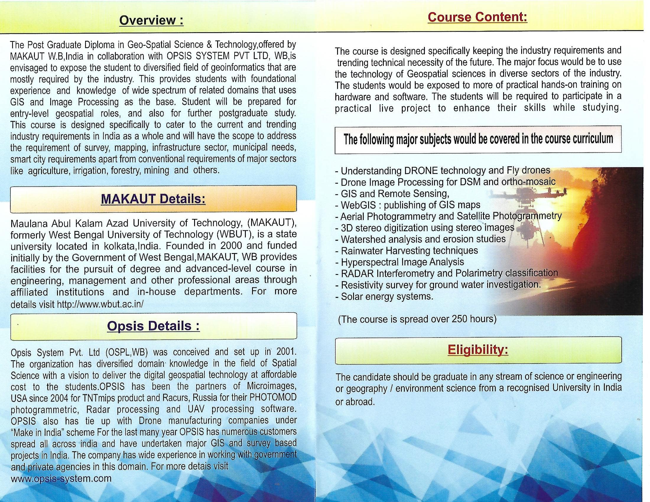
Introduction to UAV,
types, principles of UAV flying, understanding Roll,Pitch and yaw. Ground
Control station and flight management tools. sensors
and platforms; civilian and remote sensing applications; sensors calibration
and boresighting; operational requirements of the UAS;concept of operation for
UAS; data processing software;generation of digital data products such as
ortho-rectified imagery and digital terrain surface;current rules and
regulations governing owning and operating a UAS in India;concerns surrounding
UAS safety, security and privacy issues.
PHOTOGRAMMETRY – Satellite stereo images
Photogrammetric terms; Applications; Type of
photographs; Perspective geometry of near vertical and tilted photographs,
heights and tilt distortions; Flight planning;
Stereoscopy, base lining, floating marks,
parallax equation and stereo, measurements for height determination;
Developments in photogrammetry: analogue, analytical and digital methods;
photogrammetric instruments. Creation of DSM from stereo images.
3. Groundwater VES, LiDAR, WebGIS, RADAR , DRONE 3D digitisation
Hydrology - definition, hydrologic cycle,
vertical distribution of groundwater types of aquifers, Darcy's law, porosity,
permeability Different types of electrode arrays: Wenner- Schlumberger..
Geometric factors and theoretical derivations for apparent resisitivity for
different electrode configurations. Interpretation of electrical resistivity
values for identification of water bearing zones. –
Understanding LiDAR data and its principles,
use of aerial LiDAR data and generation of DEM from LiDAR data , classification
of LiDAR data.
Introduction of WeGIS , creation of tileset
from vector , raster, publishing the GIS data over web, creation of geomeshup
for publishing and quering the data.
Introduction into SAR basics
and principles, 2. Introduction into electromagnetic wave theory, 3.
Introduction into scattering theory and decomposition techniques, 4.
Introduction into SAR interferometry, DInSAR 5. Introduction into
polarimetric classification.
3D digitization technique
using stereo UAV or satellite images.
4. Basic management skills and PROJECT / Dissertation
Development etiquettes and manners • Study of
different pictorial expression of non-verbal communication and its analysis.
Presentation techniques, Interview grooming, telephone etiquettes, resume
preparation. KISS
(Keep it short and sweet) in communication – Composing effective messages and
effective communication.
PROJECT will be on any socially relevant geospatial
event or participation on live project under the company.