Satellite intelligence
Gamma
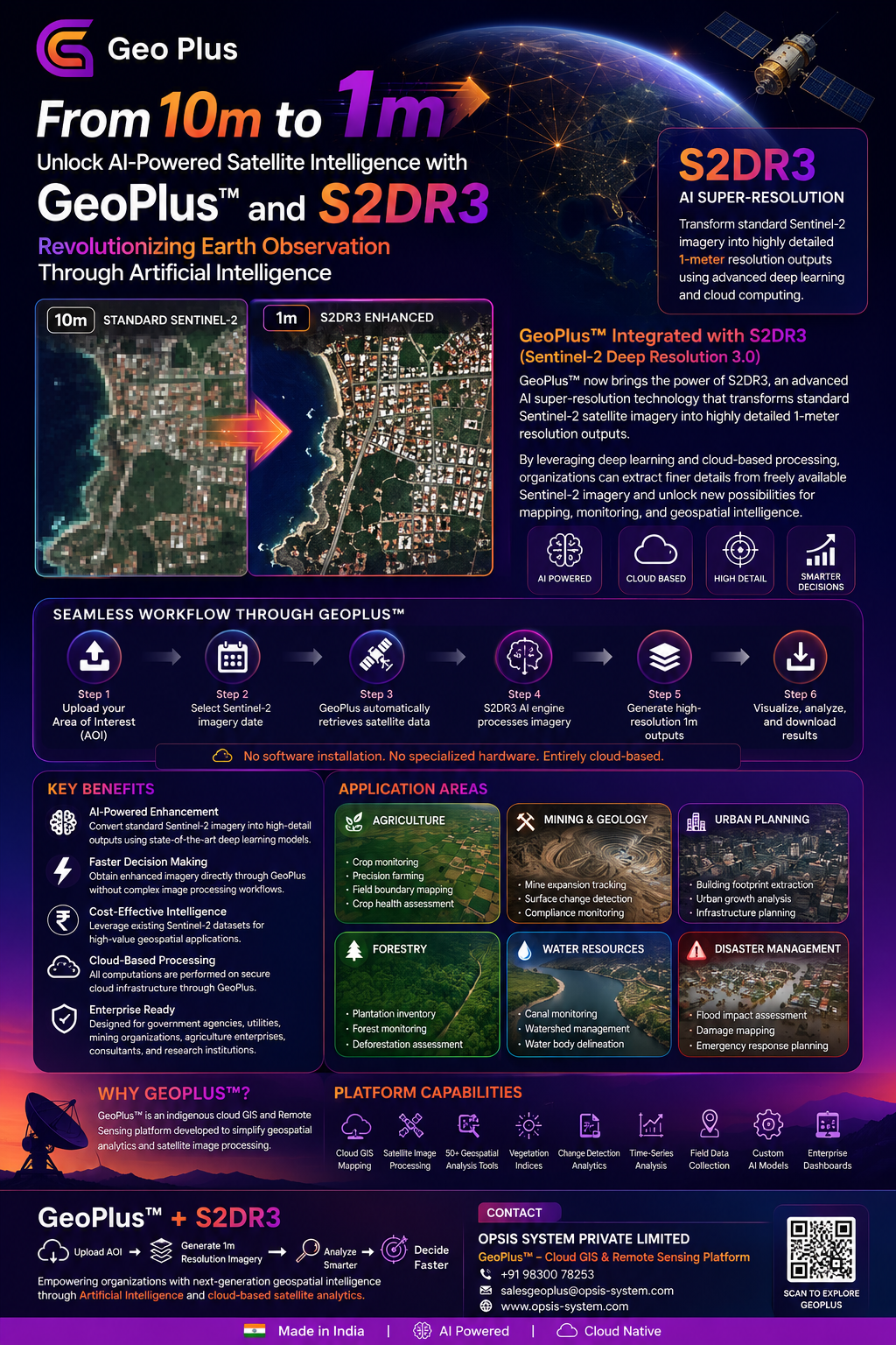
GeoPlus with S2DR3 uses AI and cloud processing to enhance standard 10 m Sentinel-2 imagery into detailed 1 m outputs for mapping, monitoring, and geospatial analysis.
- AI super-resolution
- Sentinel-2 imagery
- 1 m output
- Cloud processing
- Change detection
Product flyer
Open full-size flyer ↗